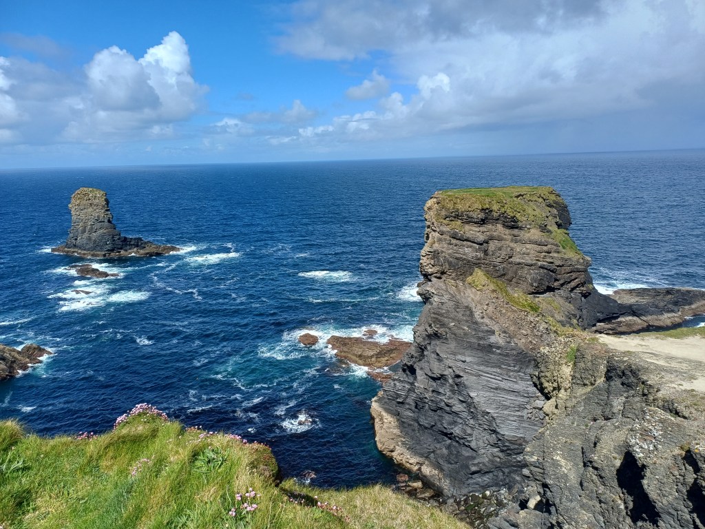
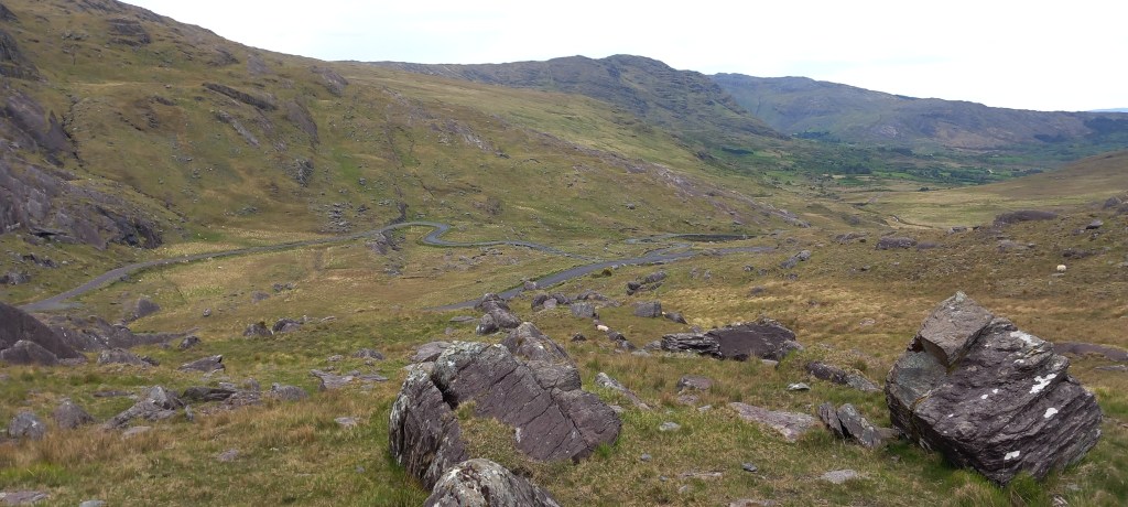
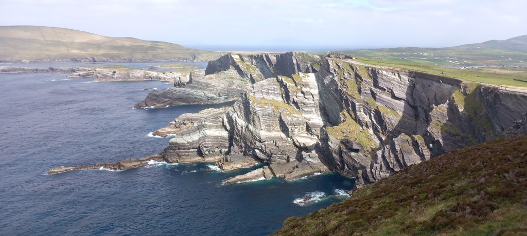
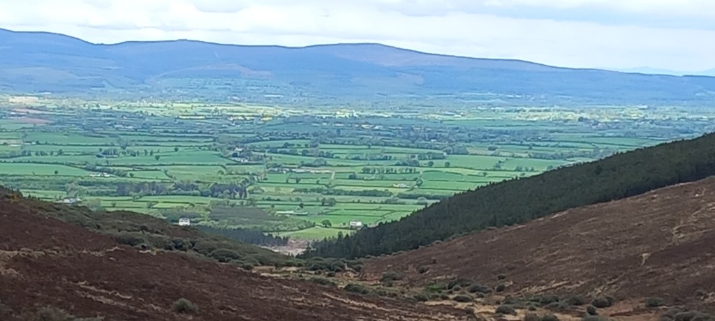
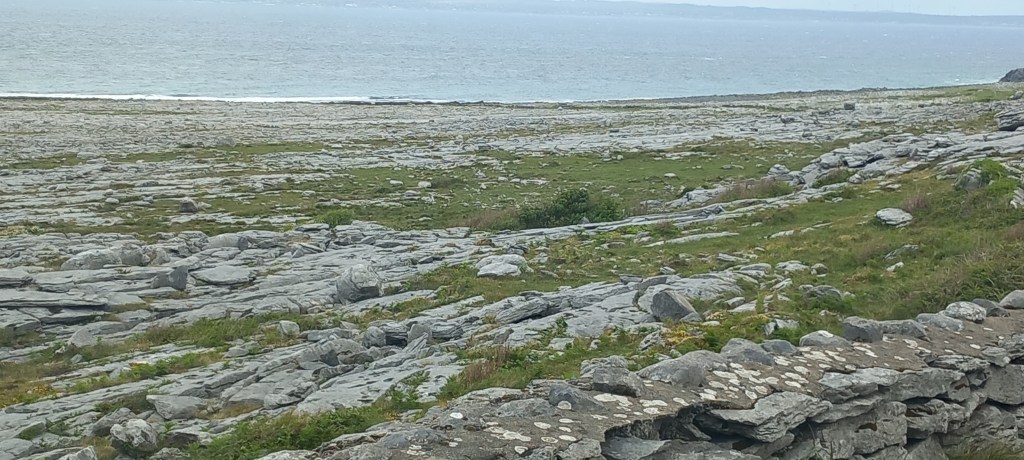
Continuing north through the Burren (which means Rocky Place), the landscape changed rather dramatically to flat limestone plateaus. On a dull grey day such as we had, it was rather depressing, although I’m sure the geologists among you would find it fascinating! This enormous area of limestone was under the seabed 340 million years ago. It stretches from the coastal cliffs and caves for many miles inland.
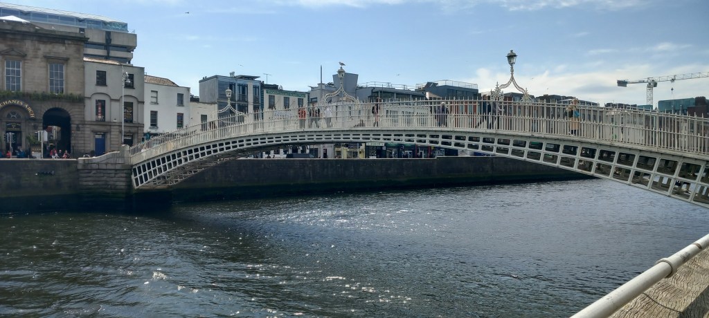
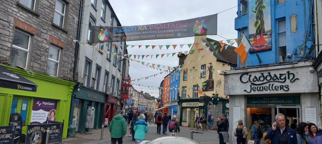
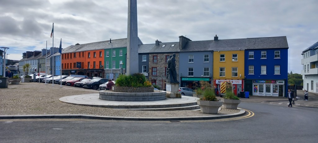
Galway City has a wonderful vibrant atmosphere – lots of buskers, lots of Irish music to be heard both in the bars and out in the street. We enjoyed a guided walking tour, taking in some of the history of this 900-year-old city. It boasts a very long harbour-side promenade, where our campsite was located – an easy bus ride into the city.
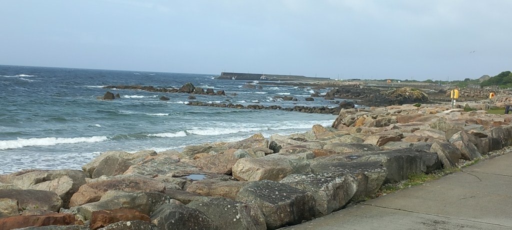
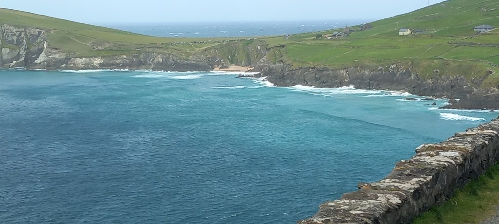
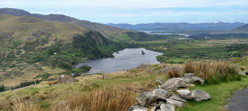
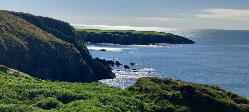
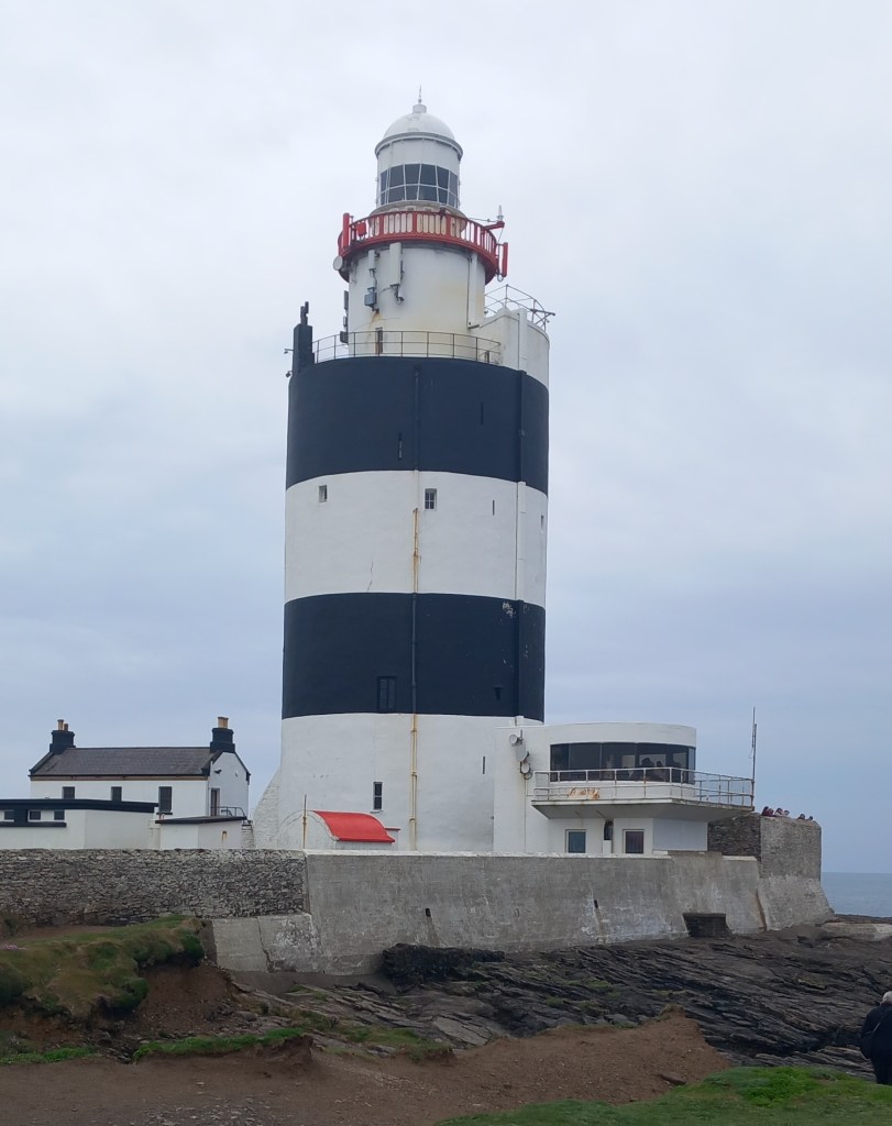
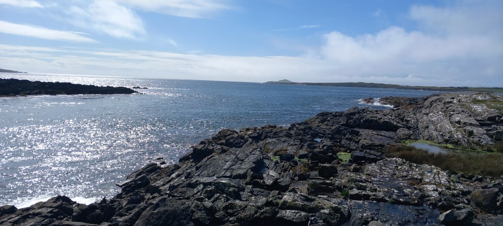
The Wild Atlantic Way (which we christened the WAWA) continues west from Galway, passing many lovely coves and rocky shorelines, before heading north again. Clifden Eco Camping was our favourite campsite of the trip! Our pitch faced directly onto an inlet where we watched the tide racing in and out, a mere 50 metres in front of us. We were lucky enough to arrive in sunshine – the weather since then has gone down hill rather! Clifden town was a lively little place, full of coffee shops, so just up our street!
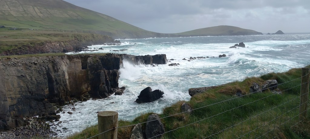
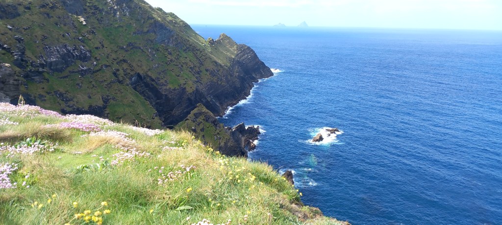
The Sky Road is one of many circular loops, attached to the magnificent WAWA. A very narrow and steep road runs16 km out of Clifden through some very remote areas with panoramic views out to sea.
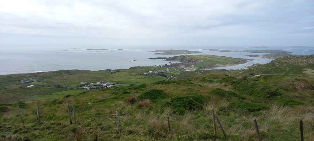
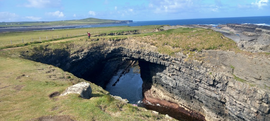
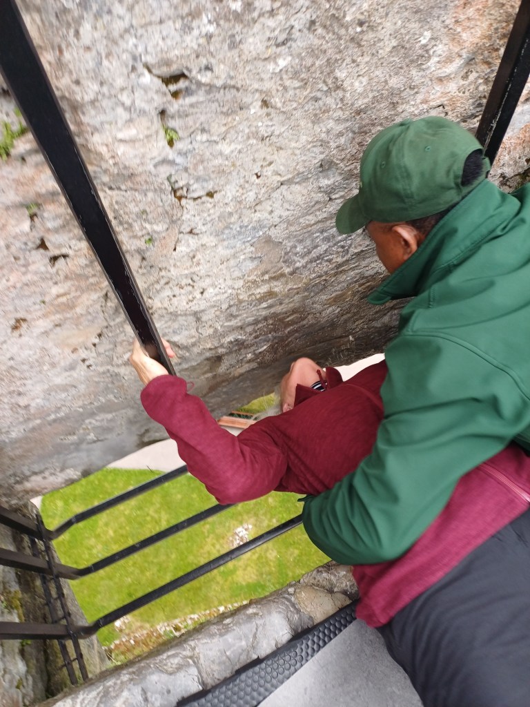
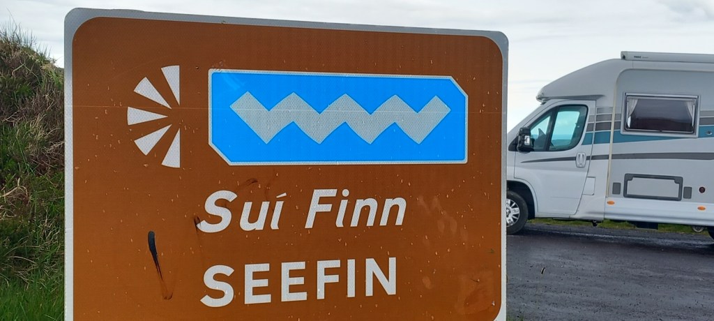
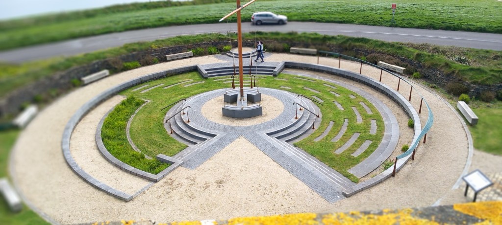
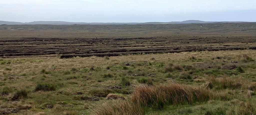
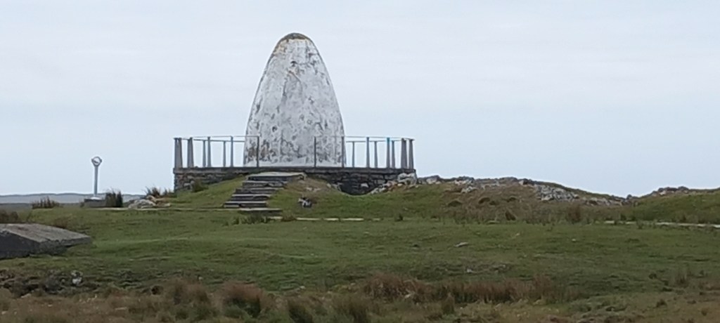
Guglielmo Marconi set up the first commercial transatlantic radio station near Clifden in 1907. A well-interpreted 5km walk took us across the blanket bog – very much a ‘working’ peat bog – showing us the enormity and ingenuity of the project. (I can hear you all tutting at the thought of peat still being dug, but to be fair, there are NO trees in this area)
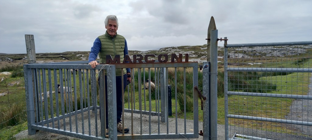
This site was also where aviators Alcock and Brown crash-landed their biplane after completing the first non-stop flight across the Atlantic in 1919.
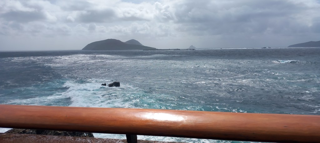
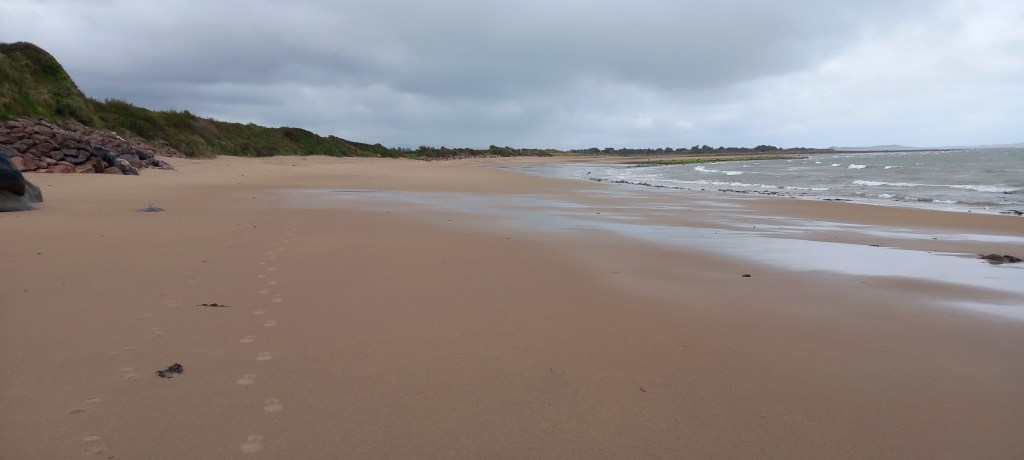
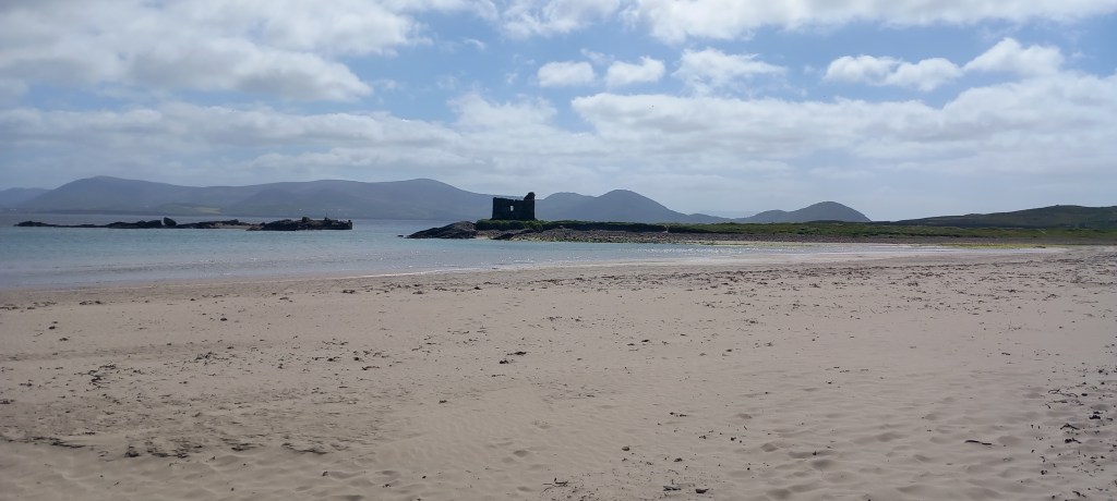
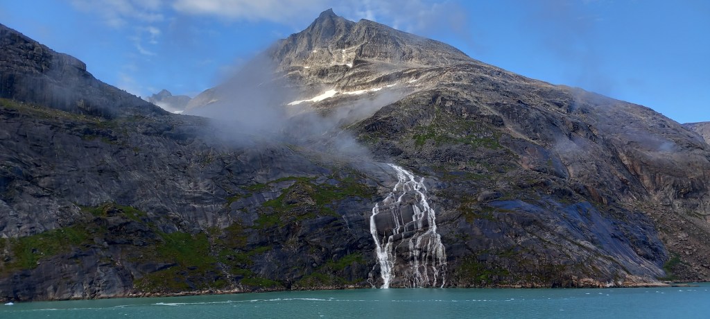
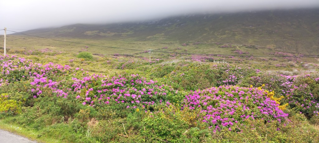
Achill Island is one of the most westerly points on the WAWA. With its population of just 2500, it boasts breathtaking scenery and miles of white sandy beaches. I will always remember Achill for its rhododendrons! Miles and miles of them – just as swathes of heather sweep across Scottish mountains, so rhododendrons stretch across the hills and valleys of Achill. Another hair-raising, nail-biting WAWA loop took us over a mountain pass to an amazing beach on the southern side of the island. Sadly, the weather did NOT behave on Achill (why would it? all weather comes from the west!) We never saw the tops of the mountains – and walking the beaches was a battle with the eternal wind and rain!
Having driven 1500 miles of the WAWA, on some pretty rough and very windy roads, we’ve decided to head for home a week earlier than planned. Perhaps one day we shall return to complete the very northern part of the WAWA – who knows? In truth, we couldn’t wait to head east and find some good weather. Whilst you have all been basking in the UK heatwave, we could only venture outside in woolie hats, gloves and several layers of clothing!
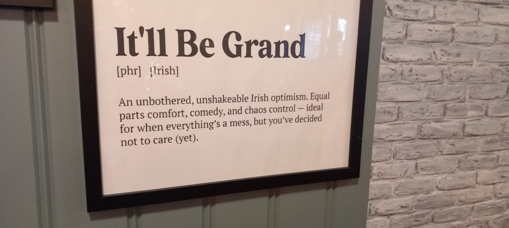
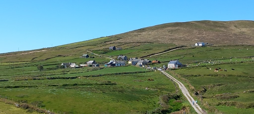
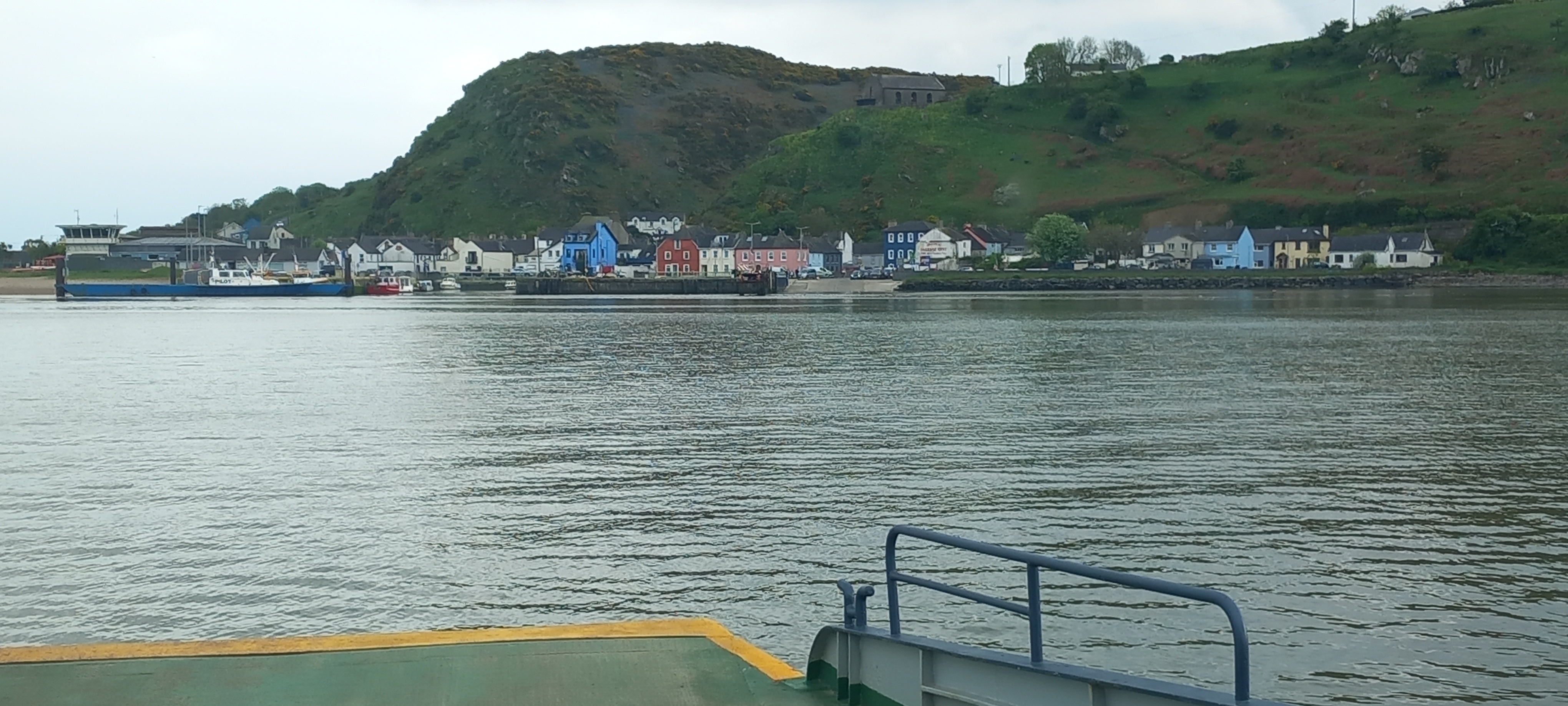
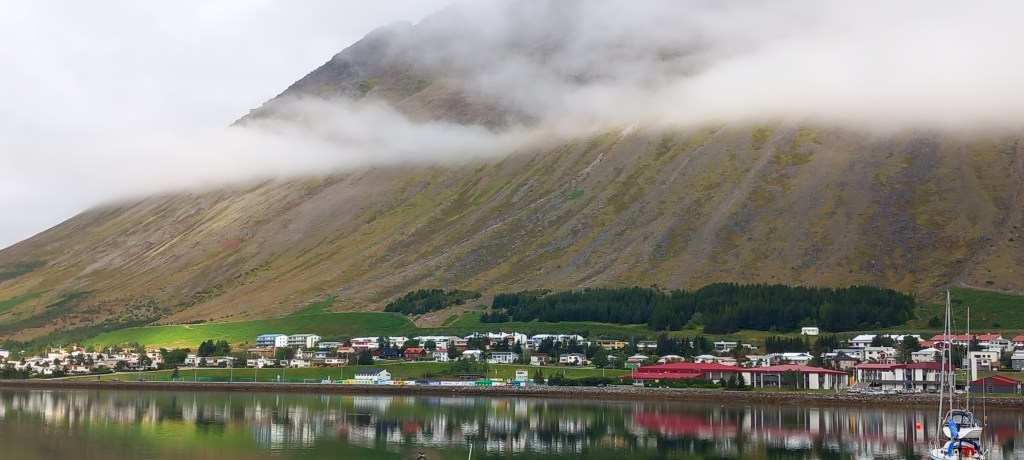
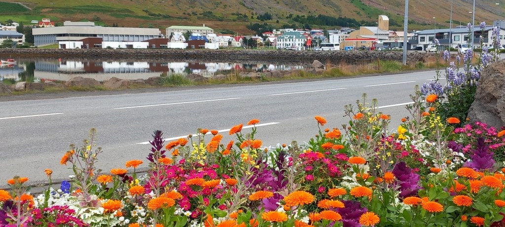
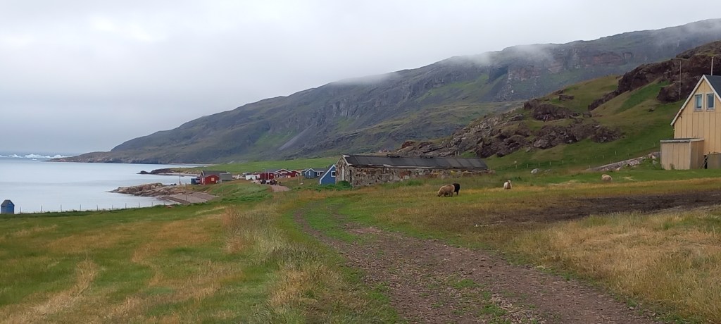
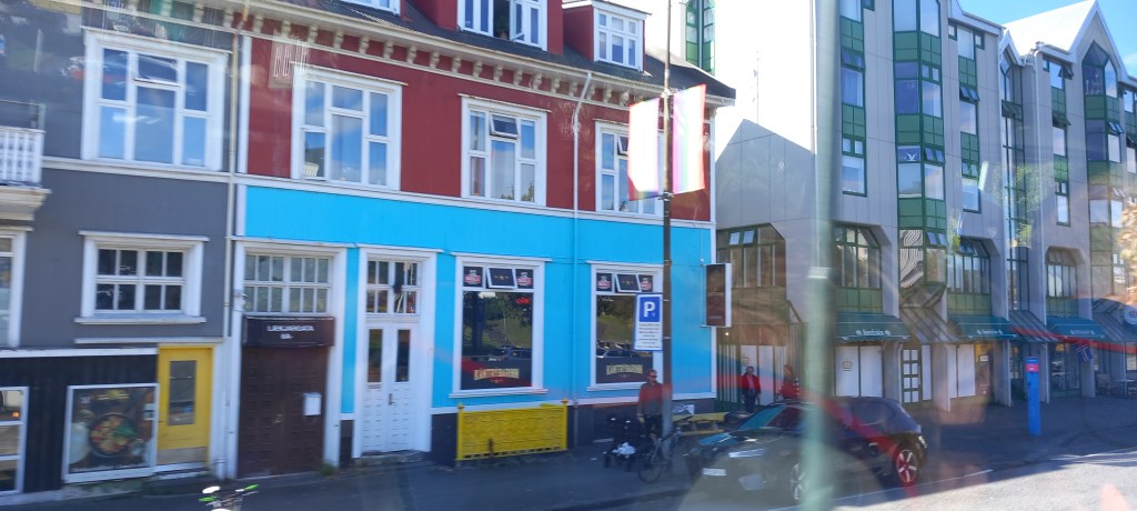
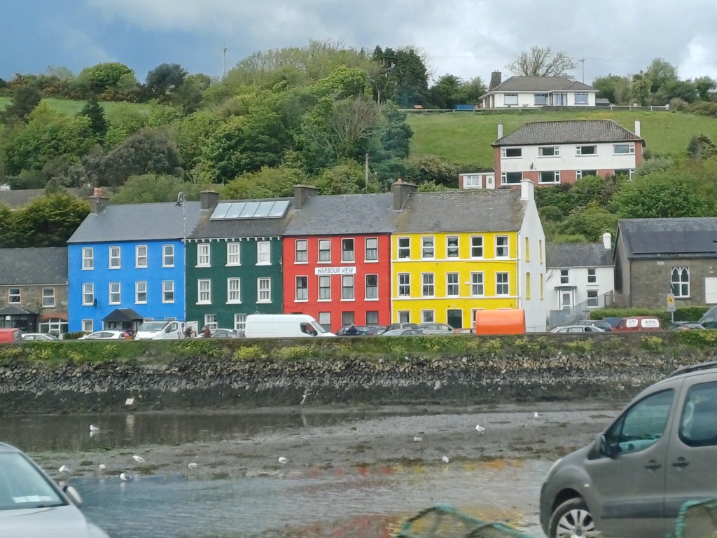
We have enjoyed the Irish sense of humour! They are great at poking fun at themselves. We’ve also loved the VERY brightly coloured houses! Often seen in a line in the villages, and sometimes in the middle of nowhere, a bright orange, yellow, blue or purple house will appear.
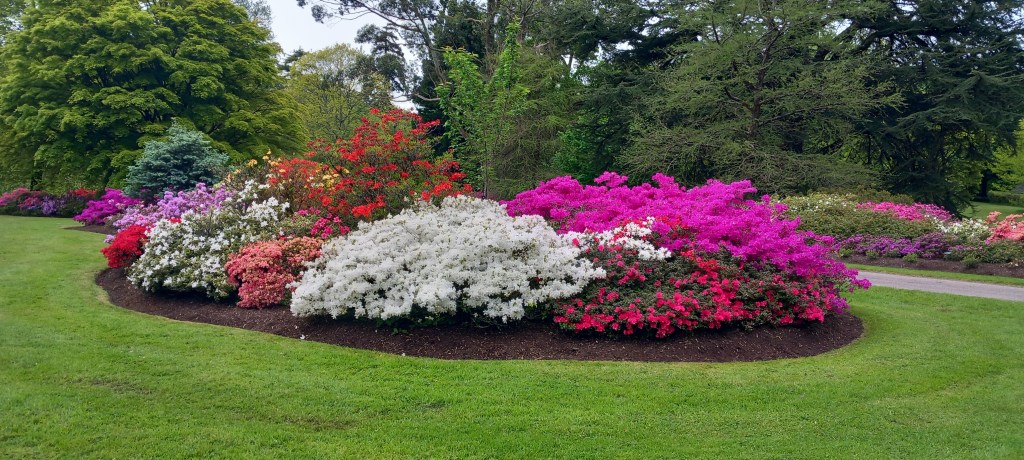
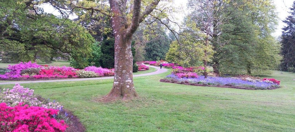
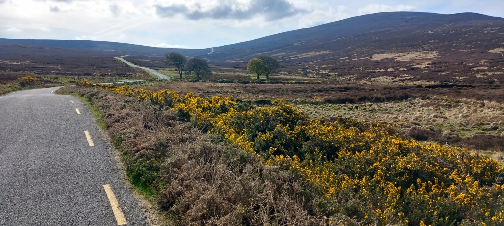
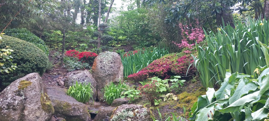
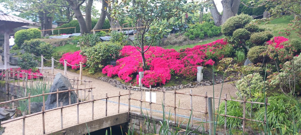
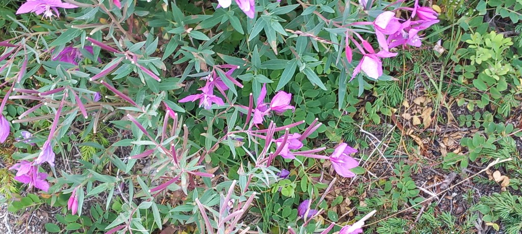
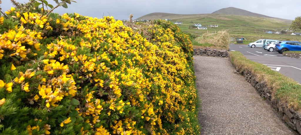
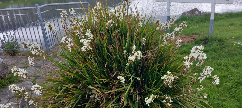
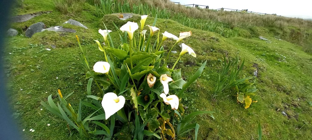
I’ll swear the gorse is a much deeper yellow than ours – maybe it’s all that peat! Everyone’s gardens are FULL of white calla lilies and snowy mermaids!
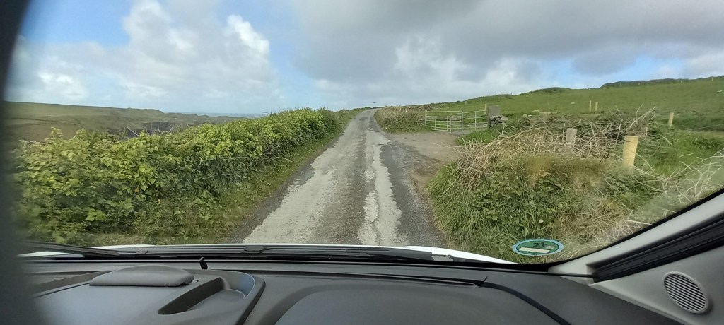
We won’t miss the rough road surfaces, nor the numerous car parks with height restrictions! But we WILL miss the incredible scenery – well done the Irish for setting up the Wild Atlantic Way.. . . .